Press Release
Global engineering services leader implements fixed-wing aerial data collection program with support from Delair partner Frontier Precision
High performance drone provides highly accurate 3D data, covers more ground, reduces costs in mining projects
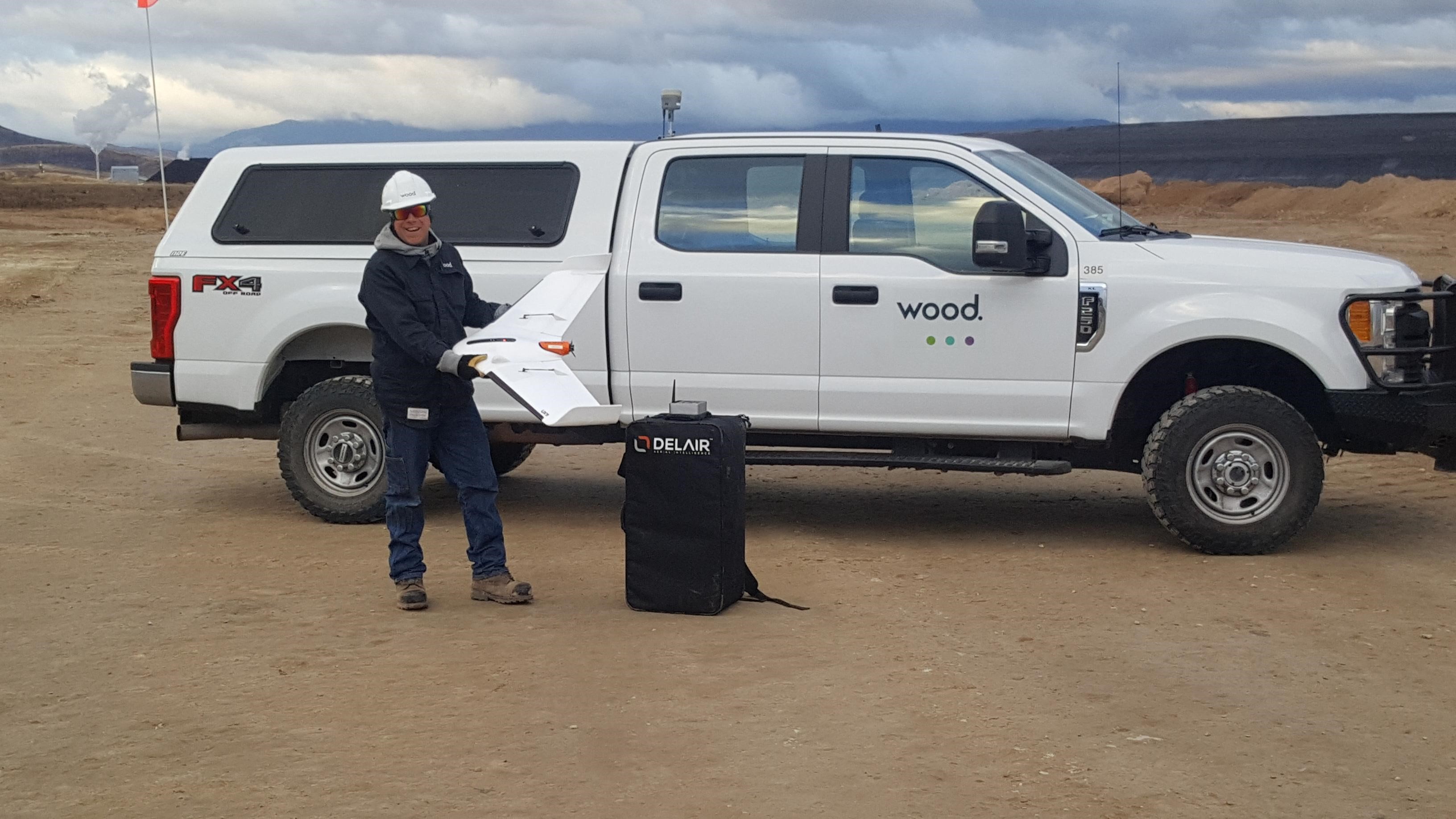
LOS ANGELES – May 7, 2019 – Delair, a leading supplier of commercial drone solutions, along with one of its regional resellers, Frontier Precision, today announced that Wood has adopted the Delair UX11 high-performance UAV for its work in site planning and asset management in mining and quarry projects in the western US. Wood – a global leader in the delivery of project, engineering and technical services to the energy, industry and built environment sectors – is initially deploying the drone to do high accuracy, 3D topographic surveys and materials quantification for mineral mining in Idaho and Wyoming. It is the first fixed-wing UAV Wood has deployed in the Western US.
“For the scale of the projects we are performing, and the accuracy required, adopting the Delair UX11 was a logical choice. Its long-range capabilities allow us to cover areas not feasible with other data collection methods like hover craft drones or by foot, so it reduces the cost and time involved. It integrates well with our existing work flows, and features such as the PPK function deliver additional benefits in terms of the precision and flexibility required in challenging environments,” said Greg Meinecke, Technical Services Manager at Wood. “We have received excellent support from Frontier Precision and Delair in helping us deploy our first fixed-wing UAV missions and are already seeing results.”
Wood is deploying the drone in remote areas where its heavy civils team is performing extensive excavation and site preparation for phosphate mining activities, a project covering more than 200 acres. Of critical importance for operations is an ability to precisely quantify the volume of materials being removed to ensure a high degree of accuracy in planning and invoicing.
Wood turned to the Delair fixed-wing UAV to deal with the scale of the terrain that needed to be surveyed, as well as the challenge of taking measurements in an active mine site area, including the safety hazards of having personnel on the ground in rough terrain and around large, moving equipment. Flying at 400 feet above the project areas and often at times using beyond visual line of sight (BVLOS) flight plans, Wood technicians were able to use the precision data collection features of the Delair UX11 to acquire large amounts of highly accurate imagery that could be processed to generate detailed topographical reports.
“We are able to get surveys covering large tracts of land done in a very short amount of time, so it ends up being much more cost effective for us and the client. More importantly, we can provide the mine owners a great deal of confidence in the accuracy of the work being performed and the quantities of resources involved. In the end, everyone agreed on the material quantities as the technology is very reliable,” Meinecke noted.
Frontier Precision worked alongside Wood’s engineering and field experts to evaluate the Delair drone, and ensure it met the firm’s requirements, including integration with other important tools the firm uses such as AutoCad, Trimble Business Center, and the Pix4D photogrammetry suite.
Wood’s team noted the ease of use of the Delair UAV, especially given this was their first experience with fixed-wing flying. The firm was able to train several pilots who specialize in different types of projects, and expects to deploy the drone on other infrastructure, mining and construction projects around the US. The team also noted the Delair UX11’s embedded global shutter camera as well as its PDK (post processed kinematic) capabilities as key to ensuring greater precision in its data collection. With PPK, GPS data from both on-board and off-board systems can be matched after the mission, providing higher degrees of accuracy of the images collected.
The Delair UX11 UAV, introduced commercially last year, is one of Delair’s top-of-the-line drones. The fixed-wing drone is an innovative hardware-software platform that provides highly accurate images for survey-grade mapping, with on-board processing capabilities and real-time, long-range control via 3G/4G cellular networks or radio links. The platform’s enhanced centimeter-level precision along with its efficient operational characteristics make it the most cost-effective solution for large area surveying and mapping.
END
About Delair
Delair is a leading provider of drone-based solutions that enable enterprises to digitize their physical assets through aerial data collection and artificial intelligence-based analytics that turn the collected data into valuable business insights. The company’s offerings combine high performance, long range fixed-wing UAV hardware with sophisticated analytics technology and operational services. Its solutions are used globally by customers in industries such as mining, construction, agriculture, utilities, transportation and oil and gas. Delair has strengthened its position as a global leader through acquisitions of companies such as Gatewing, a former Trimble company, and key assets from the company Airware/Redbird. A strategic partnership with Intel and its Intel Insight initiative is enabling some of the world’s largest organizations to integrate drone data acquisition and analysis in their digital transformation initiatives. In September 2018, Delair received funding from Intel Capital, further extending an existing partnership to accelerate the development and adoption its data-driven software solutions and the Intel Insight® Platform. Founded in 2011 by experts in the aerospace industry, the company today employs 180 people and is headquartered in Toulouse, France and has offices in Paris, Ghent, Belgium, Los Angeles, Beijing and Singapore. Its solutions are sold in more than 70 countries by a network of more than 100 resellers. For more information about Delair, go to www.delair.aero and on twitter @DelairTech
About Frontier Precision
Frontier Precision is an employee-owned company with 30 years of experience serving survey, mapping, engineering, construction, GIS, forensics, law enforcement, forestry, water resources, mosquito and vector control, and natural resources professionals. As one of the top Geospatial Trimble dealers in the world, Frontier Precision has been at the forefront of technology. The company is providing valuable business solutions in the areas of UAS/Drones, laser-based scanning, 3-D visualization, and virtual reality. Headquartered in Bismarck, North Dakota with locations in South Dakota, Minnesota, Colorado, Montana, Idaho, Oregon, Washington, Alaska, and Hawaii, Frontier Precision has secured a place on the map for their best-in-class team, training support, and attention to customer needs. For more information about Frontier Precision, go to www.frontierprecision.com
About Wood
Wood is global leader in cradle to grave energy life cycle solutions. Wood employs over 60,000 people in over 400 offices in more than 60 countries globally. They have an extended 160+ year history of providing performance-driven solutions throughout the asset life cycle, from concept to decommissioning across a broad range of industrial markets, including the upstream, midstream and downstream oil & gas, power & process, environment and infrastructure, clean energy, mining, nuclear, and general industrial sectors. For more information please visit www.woodplc.com
Stay tuned on the Personal Drones Blog for the latest quadcopter and multirotor news!