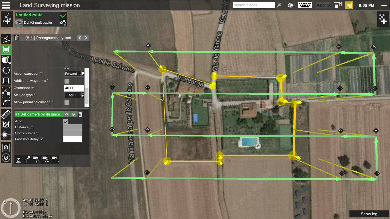
Latvia, Riga – March 7, 2017 – Before the introduction of small UAVs for aerial photogrammetry, planes, helicopters and metric cameras were used. Not only was this costly, it was also complex due to the images being taken from high altitudes. UAVs have made aerial mapping more affordable, faster and precise. When it comes to planning survey missions for small UAVs, UgCS is the right software for the job. It supports most UAV platforms and provides useful tools such as Photogrammetry tool, Image geotagging tool and other.
Continue reading UGCS PHOTOGRAMMETRY TOOL FOR UAV LAND SURVEYING MISSIONS