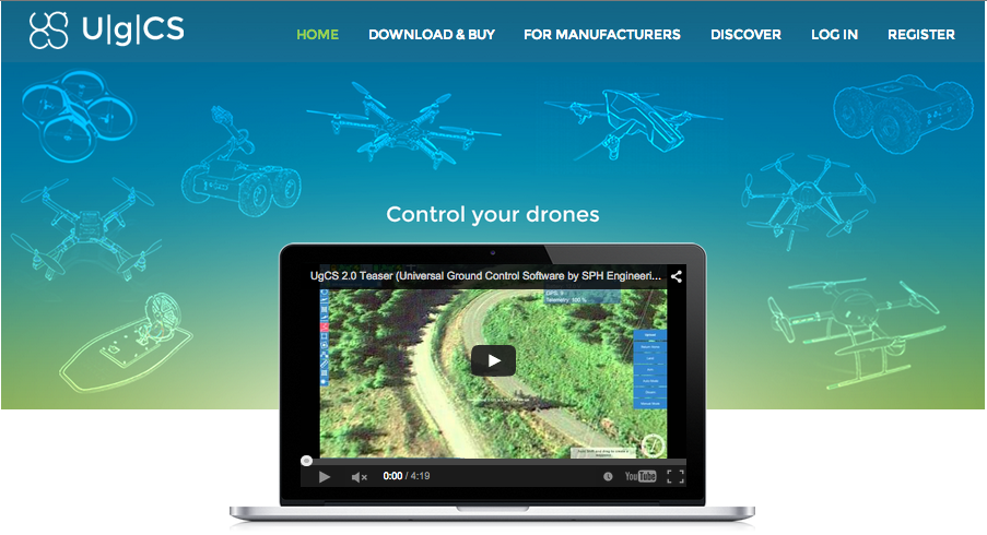
I am glad to publish the following release by SPH Engineering. Click on the image below to visit their web site:
Also check out this video, in which the software is used together with 3D Robotics multirotors:
https://www.youtube.com/watch?v=LJjFySJXK_0
###############################################
SPH Engineering is pleased to announce that UgCS is now out of Beta stage and is available for purchase.
Our work for nearly two years have resulted in UgCS version 2.1 Which now we have tested to be exceeding or having abilities at least on par with native mission planning software of supported vehicles.
Currently we support vehicles equipped with following autopilots: MikroKopter, Ardupilot APM/Pixhawk, DJI Naza-M(Phantom 2)/Wookong-M/A2, ARDrone, Microdrones. Our skilled engineers can add support to additional autopilot by request in less than 3 months including field tests.
At the moment three versions are available. UgCS Open which is free, but with some limitations. UgCS Pro – fully functional mission planning and monitoring solution with advanced capabilities. UgCS ONE supporting only one type of autopilot and aimed at less complex operations. UgCS One is decent replacement software with cost of new battery.
For more information on different versions please visit http://ugcs.com/product or contact us at ugcs@ugcs.com
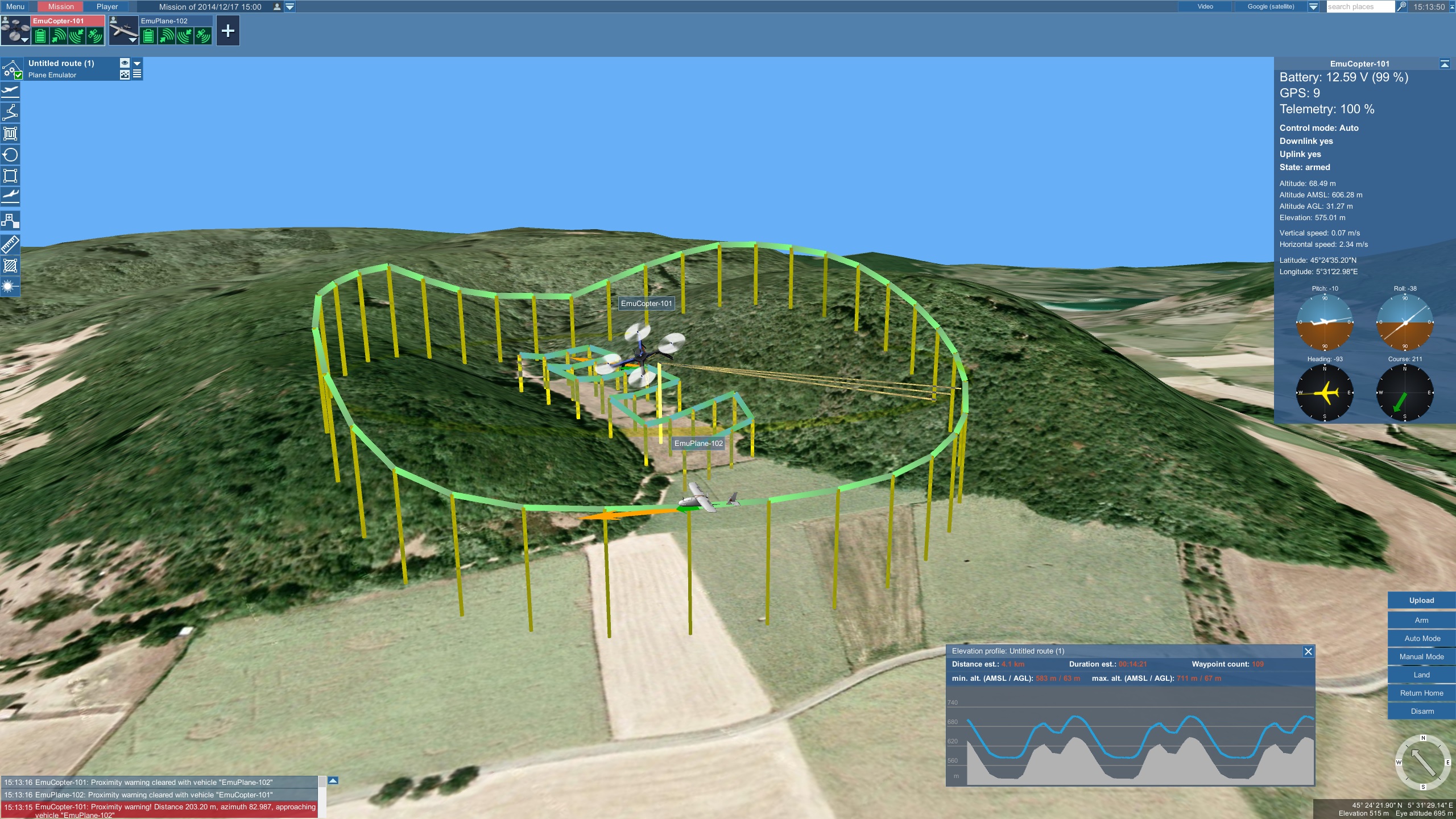
UgCS is universal ground control software for simultaneously managing multiple drones from different manufacturers with single software. PRO version offers multi user environment and possibility to deploy control interface, server, and vehicle connecting modules of the software on separate computers. Thus easing management of drones and increasing collaboration of the operating team.
UgCS supports most popular map formats and can work both with on-line or offline map sources.
All versions support 3D maps, thus allowing operator easy way to evaluate planned route and operations and visually evaluate route.
UgCS employs advanced algorithms for calculating route and object avoidance. UgCS creates route from designated waypoints taking in account drones capabilities and parameters. With UgCS you will not send a drone to the mission it cannot accomplish.
UgCS being versatile and modular platform offers possibility to acquire custom versions to drone manufacturers and system integrators to be used by their systems. Therefore they can save months of time, significant amount of money and get software re-branded and customized to their particular needs just in months.
Stay tuned on the Personal Drones Blog for the latest quadcopter and multirotor news!